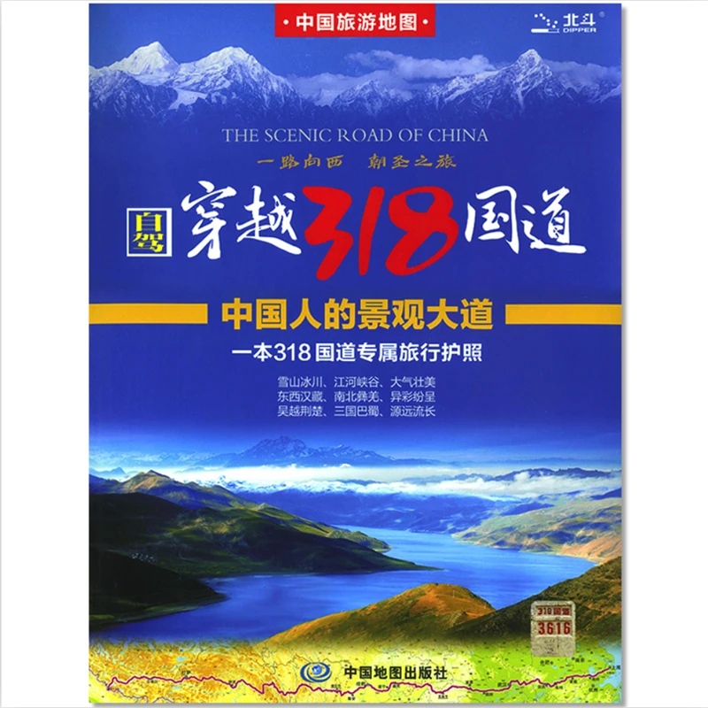
Карта туристических достопримечательностей Китая "Живописная дорога Китая" 43x30 дюймов, национальная автомагистраль 318, плакат на стену (свёрнутый в бумагу), версия на китайском языке.

Характеристики
Карта туристических достопримечательностей Китая "Живописная дорога Китая" 43x30 дюймов национальная
Описание товара
Brand NameNoneModel NumberPaper FoldedOriginMainland ChinaTypeMapSize111x76cm/43x30inCensor CodeGS(2020)6366Measurement unitpiece/piecesSold insell_by_pieceEach pack1Package weight0.250Package size - length (cm)32Package size - width (cm)25Package size - height (cm)2LanguageSimplified ChineseScale1:5 300 000Laminated/paperLaminated1 183,20 ₽1 183,20 ₽
Delivery to Moskva g
19 Jul - 55,68 ₽Delivery to a Post office
13 Jul - 55,68 ₽Self-pickup
90-Day Buyer ProtectionDescription
About G318:
China National Highway 318 (G318) runs from Shanghai to Zhangmu on the China-Nepal border. It is the longest China National Highway at 5,476 kilometres (3,403 mi) in length and runs west from Shanghai towards Zhejiang, Anhui, Hubei, Chongqing, Sichuan, and ends in Tibet. From Lhasa to Zhangmu it is also called Friendship Highway. At the Sino-Nepal Friendship Bridge, it connects with the 115 km long Araniko Highway to Kathmandu.
About this map:
G318 is the Scenic road of China, very famous for driving tour or bike tour ( It is dangerous too)
Actually ,this is a map for driving tour. and also a good guide map for someone who want to travel in China. Many beautiful natural scenery and humanities building around this road .
Product details:
Publisher: Sinomaps Press (Jan,2022 Revised)
Name: Crossing China National Highway 318
Paperback: 1 page
Language:Simplified Chinese
Map Size: 1115 x 76cm/43x 30in
ISBN: 9787503194740